Drone Surveying, Mapping and Monitoring of Engineering and Environmental Projects of National Governments and Local Government Units (LGUs)
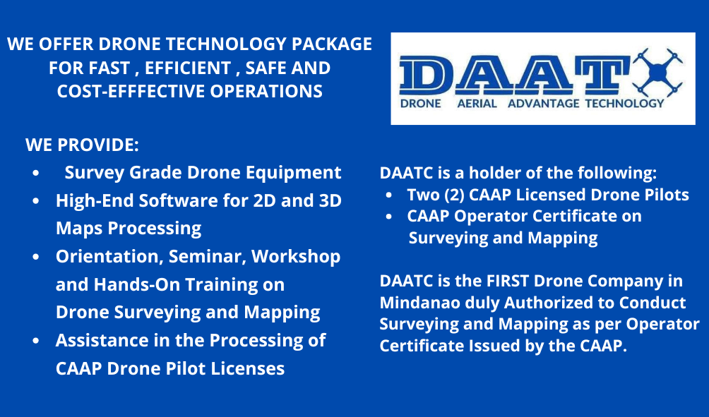
WE Offer DRONE TECHNOLOGY PACKAGE
for Fast, Efficient, Safe and Cost-Effective Operations
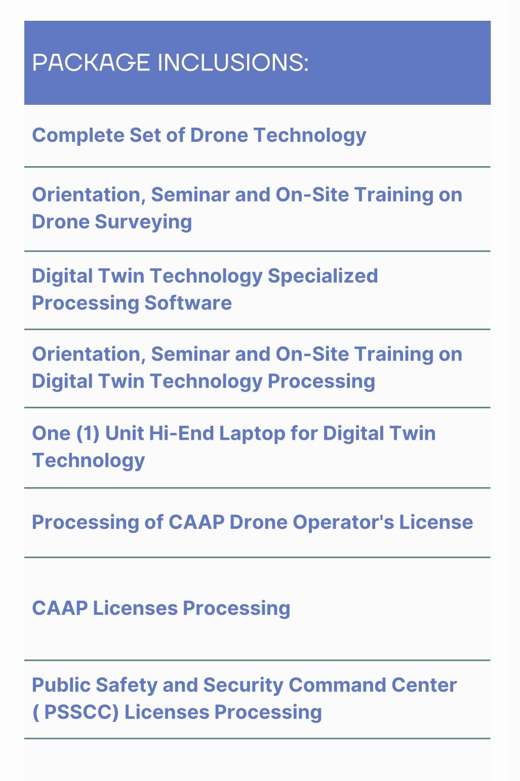
The Package Includes the following, to wit;
A. Drone Surveying, Mapping and Monitoring
- We provide Complete Set of Drone Instruments – Photogrammetry and LiDAR.
- We conduct Orientation, Seminar, Workshops and On-Site and Hands-On Training on Drone Surveying.
- We provide High-End Perpetual Software for Processing of Drone 2D and 3D Digital Maps – Photogrammetry and LiDAR.
- We provide High-End Laptops with high configuration and specifications intended for Drone Mapping.
- We conduct Orientation, Seminar, Workshops and Hands-On Training on Drone Mapping.
B. CAAP Drone Pilot Licensing
- We conduct Orientation and Seminar on CAAP Laws and Rules and Regulations.
- We issue Certificate of Completion signed by CAAP Licensed Drone Pilot with CAAP Operator Certificate as required by the CAAP.
- We facilitate and Assist in the filing of applications and the taking up of CAAP Knowledge Test for Drone Pilot License.
- We conduct Orientation and Seminar on Drone Flying, Controls and Maneuvers.
- We conduct On-Site and Hands-On Training on Drone Flying, Controls and Maneuvers.
- We facilitate and Assist in the Drone Practical Skill Test given by the CAAP Officials.
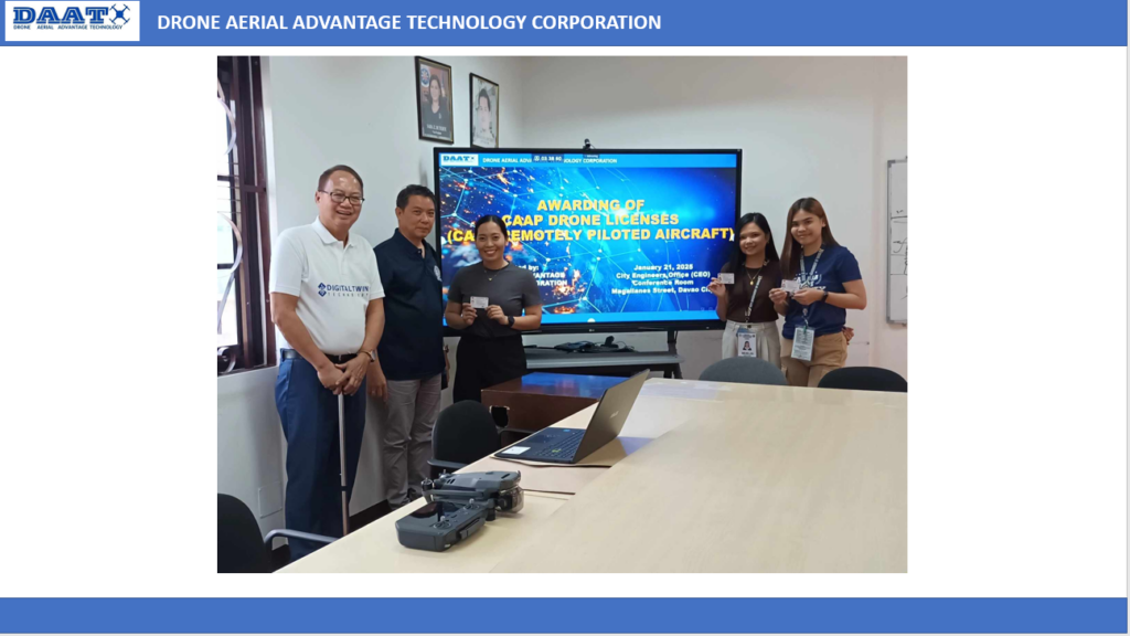
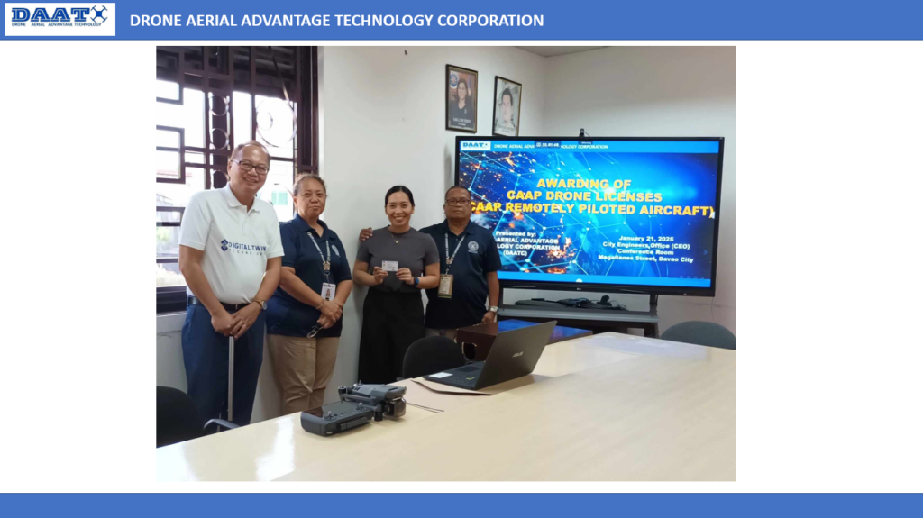
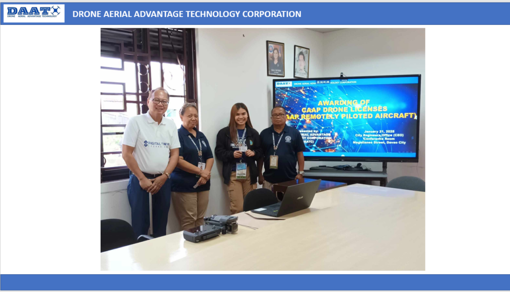
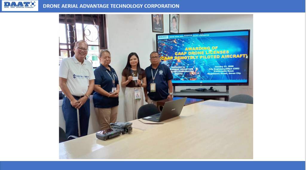
- We process and facilitate the Issuance of CAAP Drone Pilot Licenses.
OUR CLIENT
City Engineers Office
City Government of Davao
The First Local Government Unit in Mindanao that adopted the Drone Technology in Surveying, Mapping and Monitoring of Engineering Projects
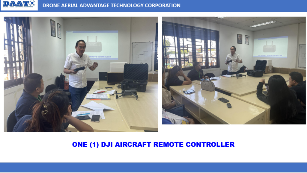
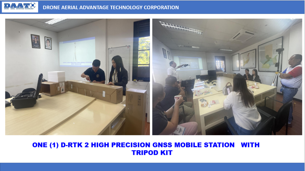
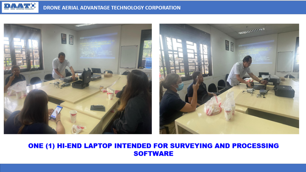
SEMINARS AND TRAININGS CONDUCTED BY DAATC
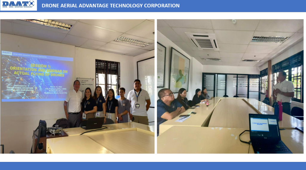
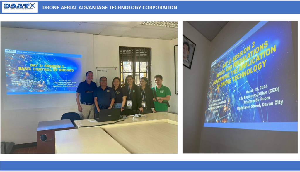
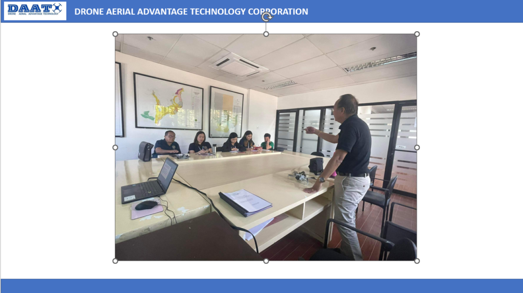
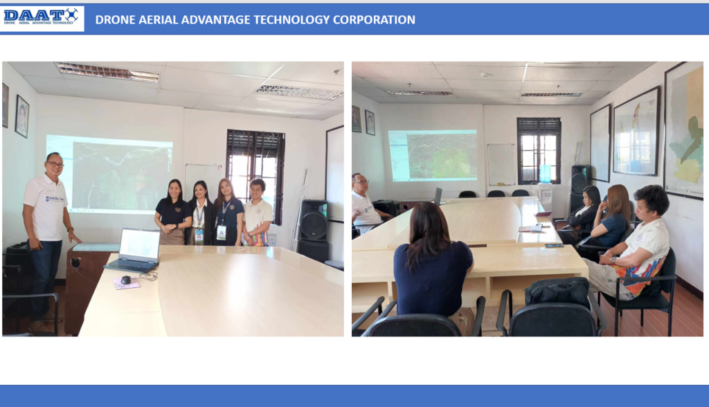
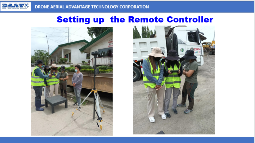
ACTUAL DRONE FLIGHT TRAINING CONDUCTED BY DAATC
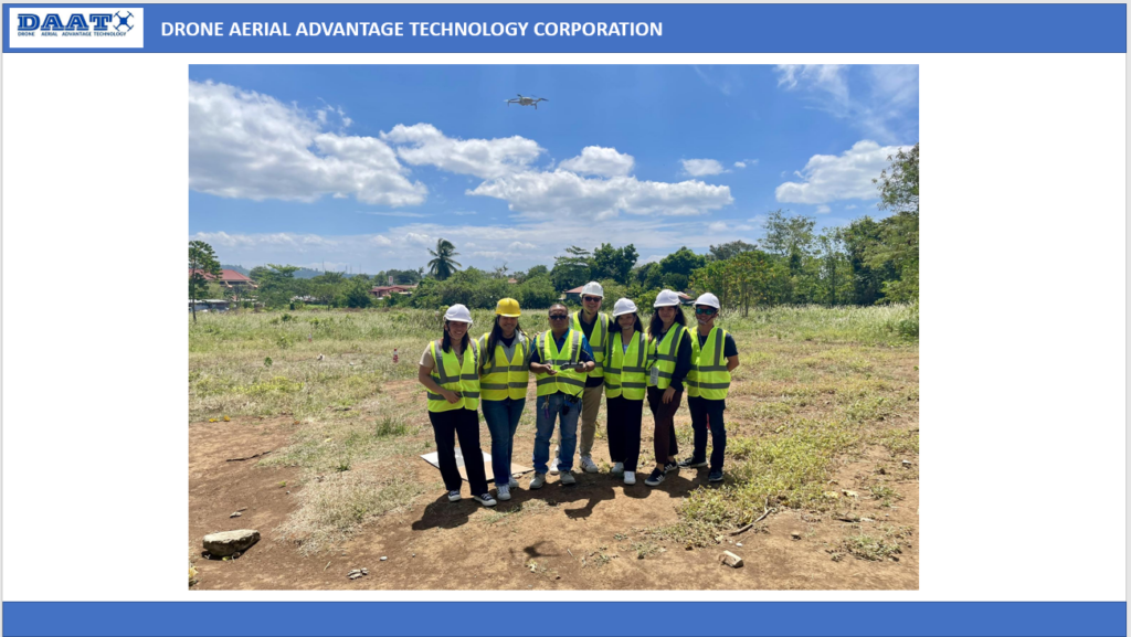
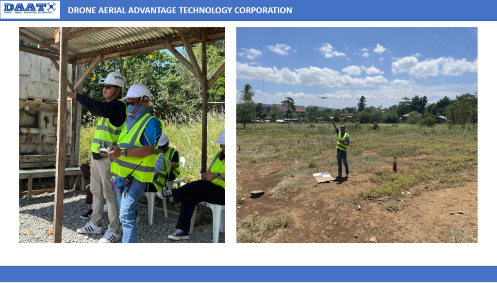
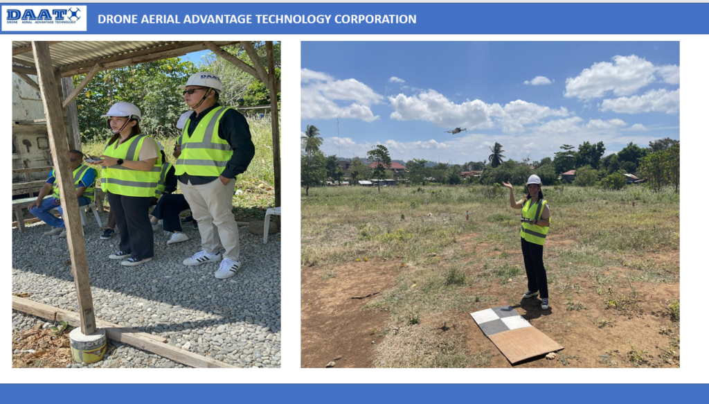
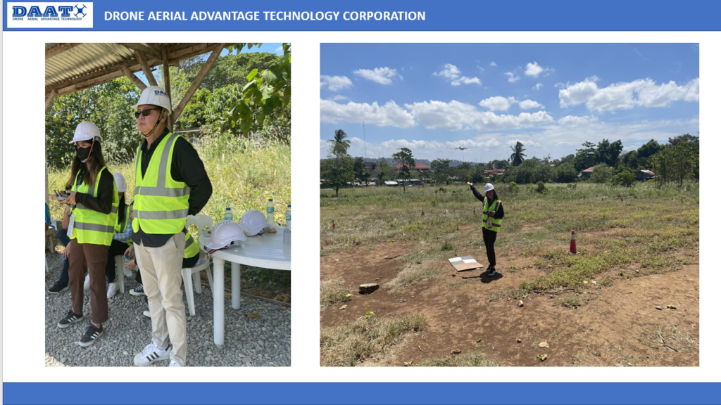
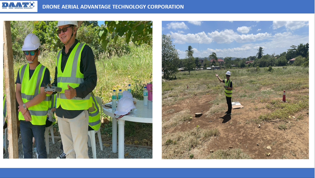
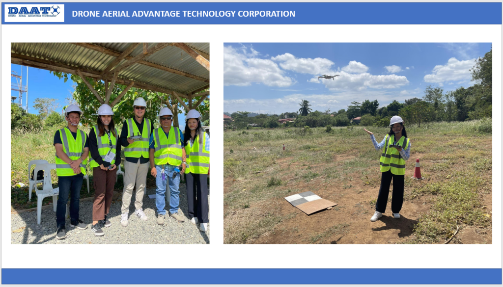
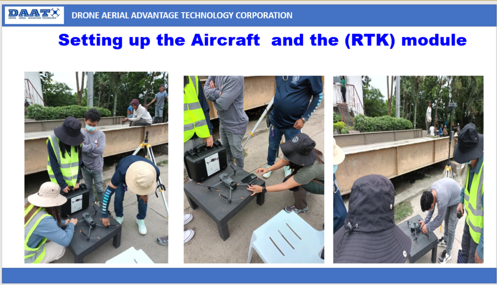
PRESENTATION AND DELIVERY OF SURVEY GRADE DRONE WITH REAL TIME KINEMATIC (RTK) MODULE
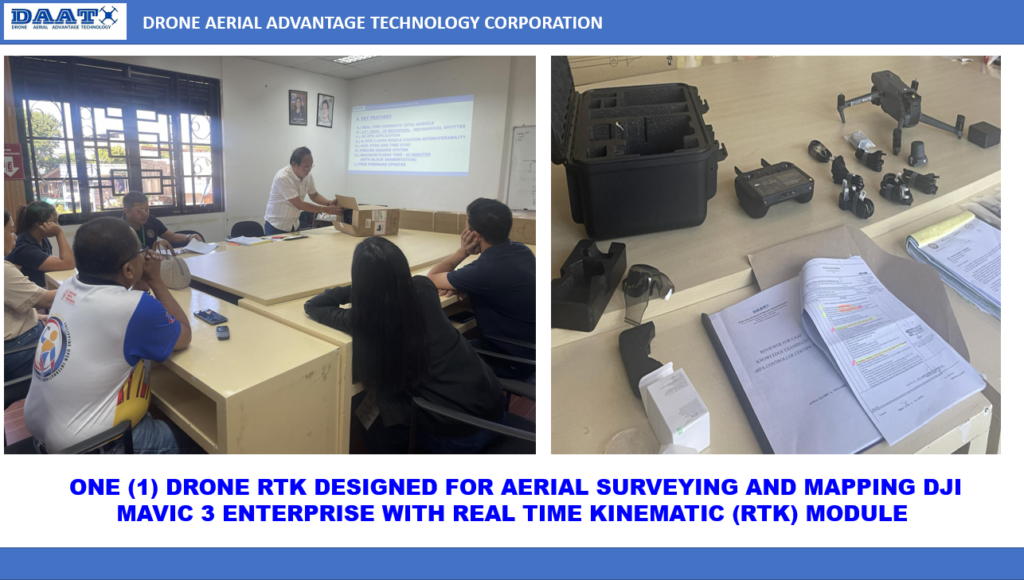
AWARDING OF CAAP DRONE PILOT LICENSES
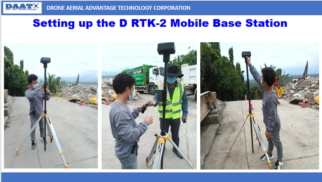
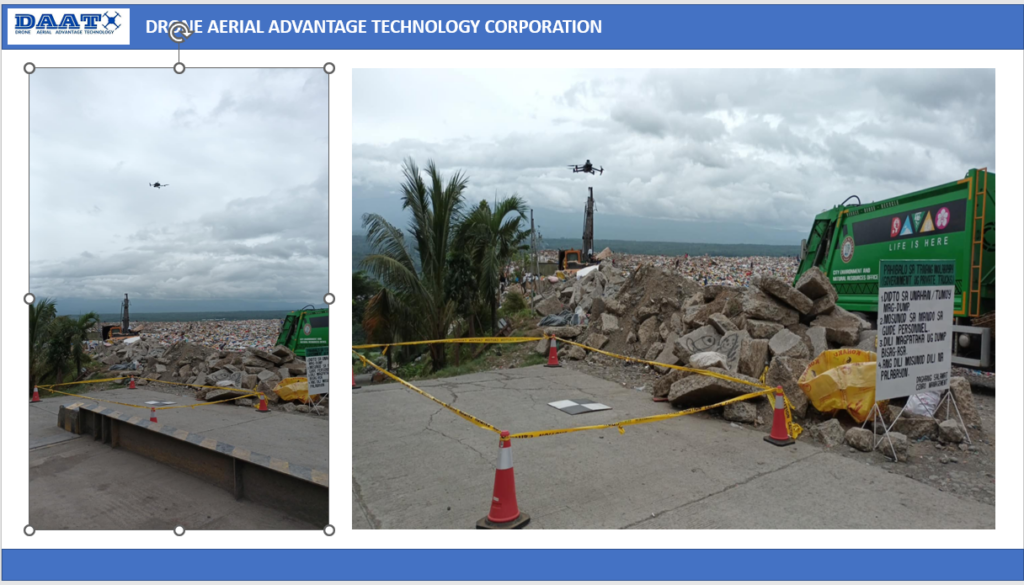
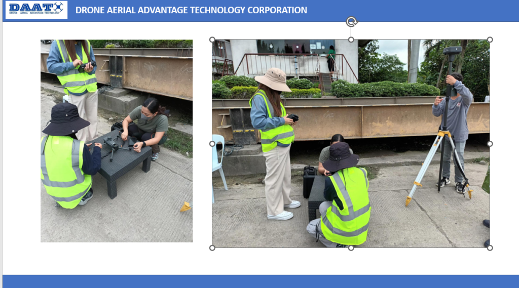
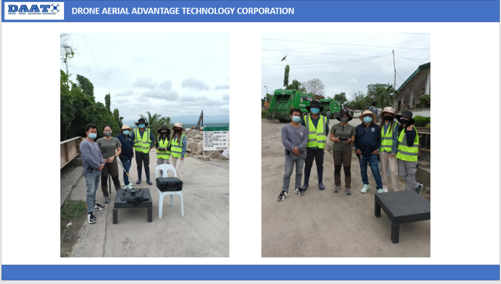
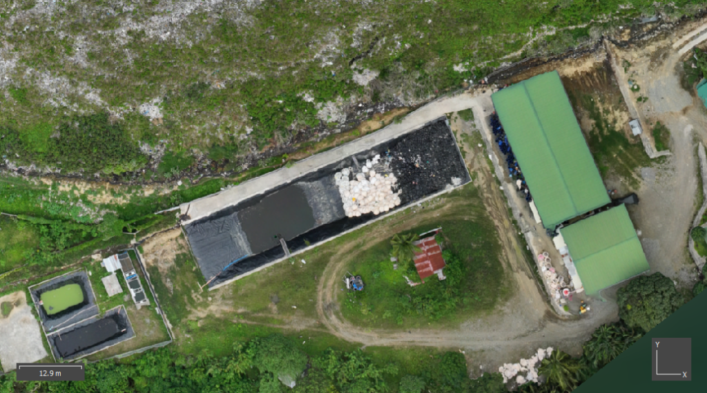
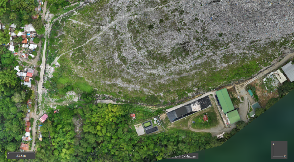
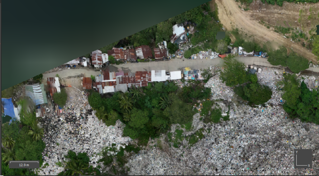
ACTUAL DRONE SURVEYING ON LANDFILL PROJECT SITE
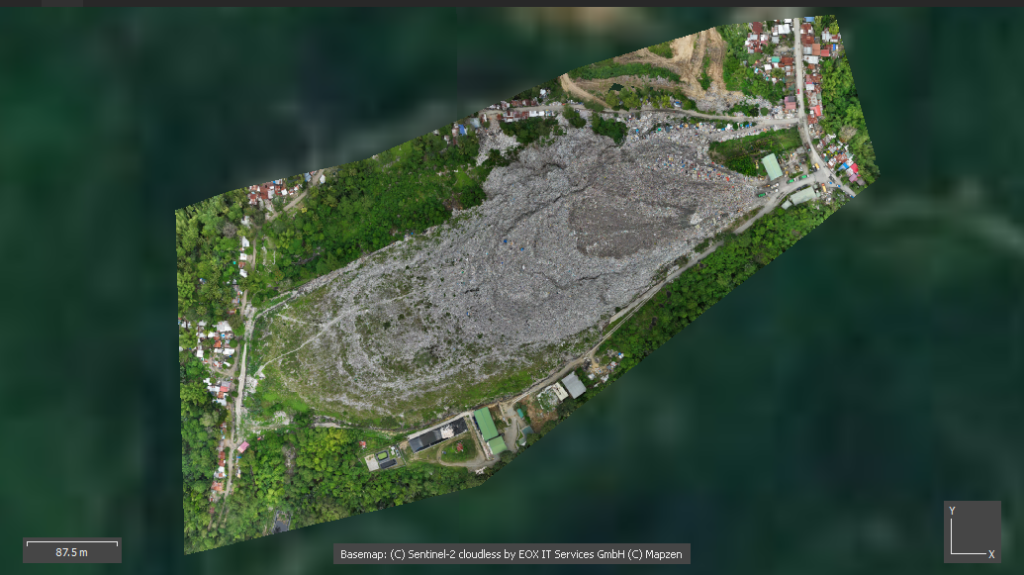
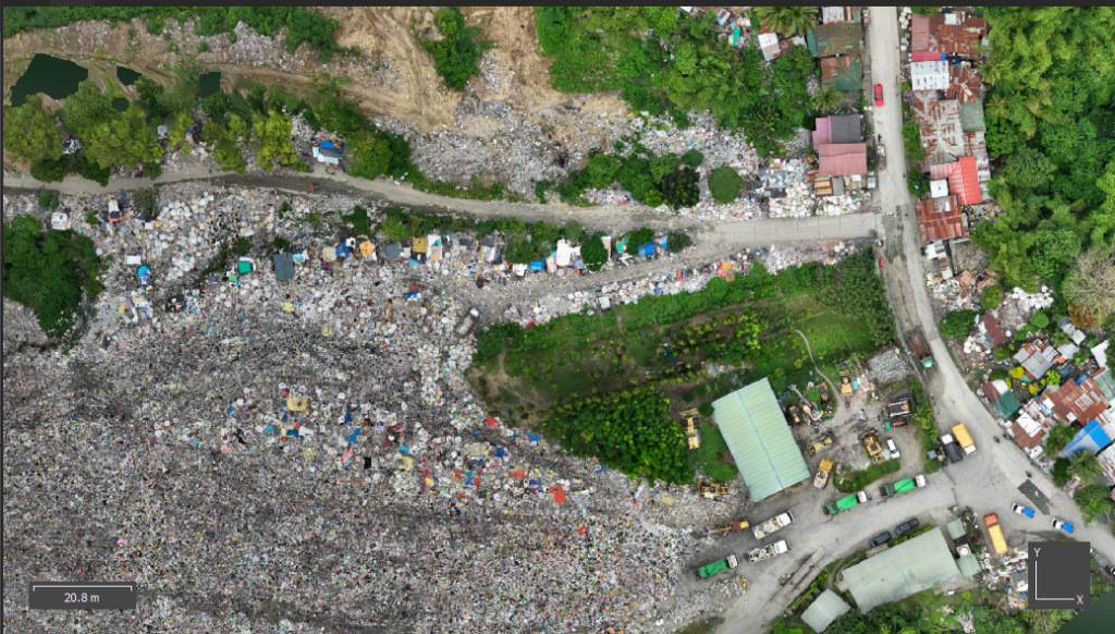
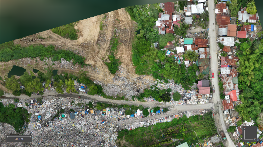
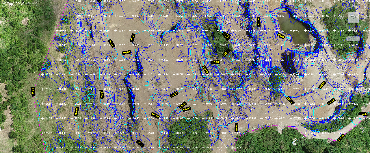
2D AND 3D DIGITAL MAPS OF THE PROJECT SITE FOR TOPOGRAPHIC SURVEY AND MONITORING
Welcome to the Era of Artificial Intelligence (AI) and Drone Technology
Changing the game in the conduct of Topographic surveying
As the technology evolves, the era of Artificial Intelligence (AI) and Drone Technology is changing the game in the conduct of topographic surveying.
These technologies transformed and restructured the way we collect, analyze and visualize topographic data making it fast, efficient and safe than ever before.
Our company, the Drone Aerial Advantage Technology Corporation (DAATC), is engaged in conducting Topographic Surveys, including Earthworks Surveys and Stockpiles Calculations utilizing Drone Technology and AI for land development projects.
- Call Us Today
0917-705-6188
Get Your FREE On-Site Demostration
We offer a free on-site demonstration of our Drone Technology in conducting Topographic Survey in one of your on-going projects here in Davao City.
Our Specialization
Our Company, Drone Aerial Advantage Corporation (DAATC) was established for the purpose of conducting accurate and precise drone survey and provide Survey-Grade Maps and Data for industries such as but not limited to construction, land development, mining, agriculture and real estate.
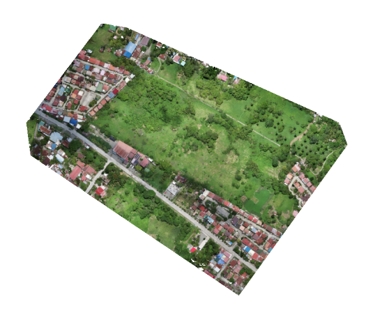
DIGITAL TWIN OF THE PROJECT SITE
We can create Digital 3D Maps which is the exact replica of the actual project site on the ground where it can be visualize in the Mobile Phones, Tablets, Laptops and Desktops Via Internet Links to Web Email
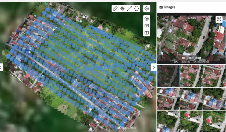
VIRTUAL INSPECTION, MONITORING AND EVALUATION OF PROJECT SITE
Accurate, efficient and safer project monitoring and evaluation can be conducted in REAL –TIME without frequently traveling and walking through to the actual site or ground. These can be visualize, spin , rotate , zoom- in and zoom-out in your mobile phones, tablets, laptops and desktops as if you are actually on the ground or site conducting Site Inspection and Monitoring.
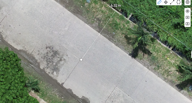
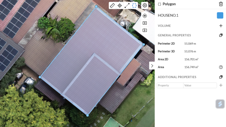
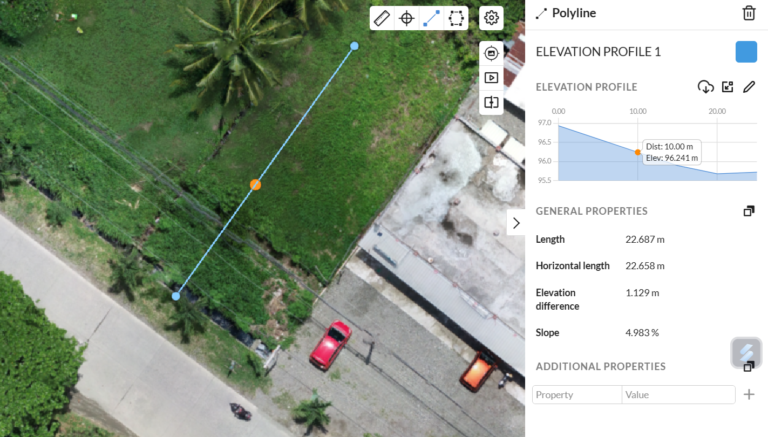
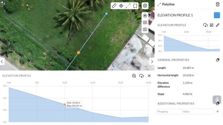
VIRTUAL SURVEYING
We can conduct virtual surveying in the Digital Project Site by measuring the Distance, Area, Difference in Elevation and Elevation Profile
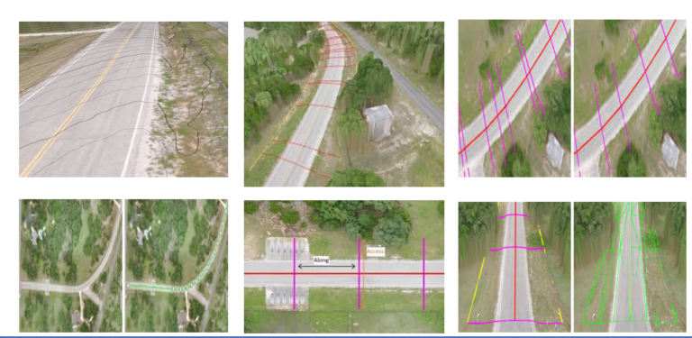
VIRTUAL ROAD SURVEYING
We can conduct virtual road surveying in the Digital Project Site by Planning and Design of Roads and Bridges Construction
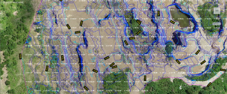
VIRTUAL TOPOGRAPHIC SURVEYING
We can conduct virtual topographic surveying in the Digital Project Site including Earthworks Surveys and Stockpiles Calculations
Why DAATC?
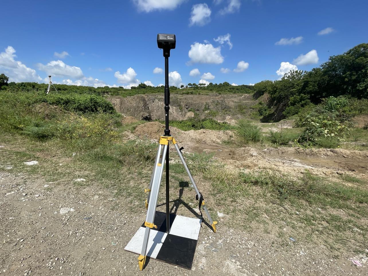
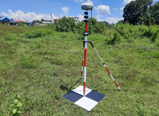
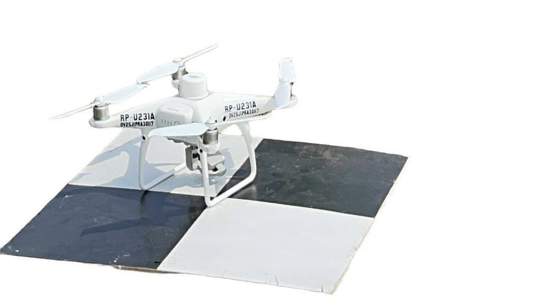
We conduct Drone Surveys using high-precision surveying drone with a combination of centimeter- level navigation and positioning and high performance imaging system.

Our Recent Projects
Our Mission is to be the primary leader and innovative in the geodetic engineering practice vis-a-vis the application of Artificial Intelligence (AI) and Drone Technology in the construction, land development, mining, agriculture , real estate and other allied industries by utilizing the Artificial Intelligence (AI) and the Drone Technology.
HOUSING PROJECTS
FLOOD CONTROL PROJECT
ROAD CONSTRUCTION
COASTAL ROAD
Our Services
Utilizing Artificial Intelligence (AI), Digital Twin and Hi-End Softwares in Creating Digital 3D MODEL OF THE PROJECT SITE which is the exact replica of the actual project site on the ground for conducting Virtual Inspection, Monitoring and Evaluation of the Project where it can be visualize in the mobile phones, tablets, laptops and desktops without going to the Actual Site or Ground.
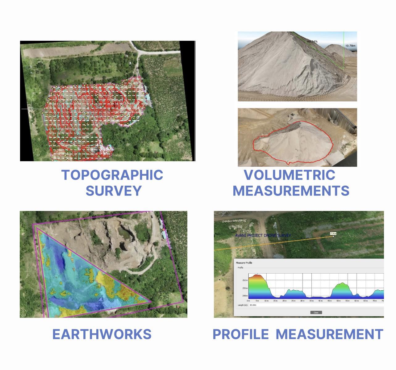
We conduct Engineering Surveys using Artificial Intelligence (AI) and Drone Technology
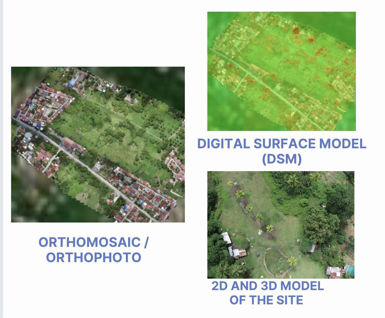
We provide Digital Twin Technology Outputs
