Services
DAATC DIGITAL TWIN TECHNOLOGY
Accurate, efficient and safer project monitoring and evaluation can be conducted in REAL –TIME without frequently traveling and walking through to the actual site or ground
In essence, Digital Twin is “Bringing the Project Site Right there Infront of your Computer in the Office
How DAATC Digital Twin Works
01.
DAATC Data Gathering
For ultimate precision, we employ Ground Control Points (GCPs) and Check Points (CPs) measured accurately by GPS RTK Survey Instruments to check the accuracy of the data sets produced by drone survey
02.
DAATC Data Processing
We processed the Drone Data using high-end photogrammetry software which involve interior orientation, exterior orientation and aerial triangulation to establish high positional accuracy of the the drone data sets
03.
DAAATC Data Outputs
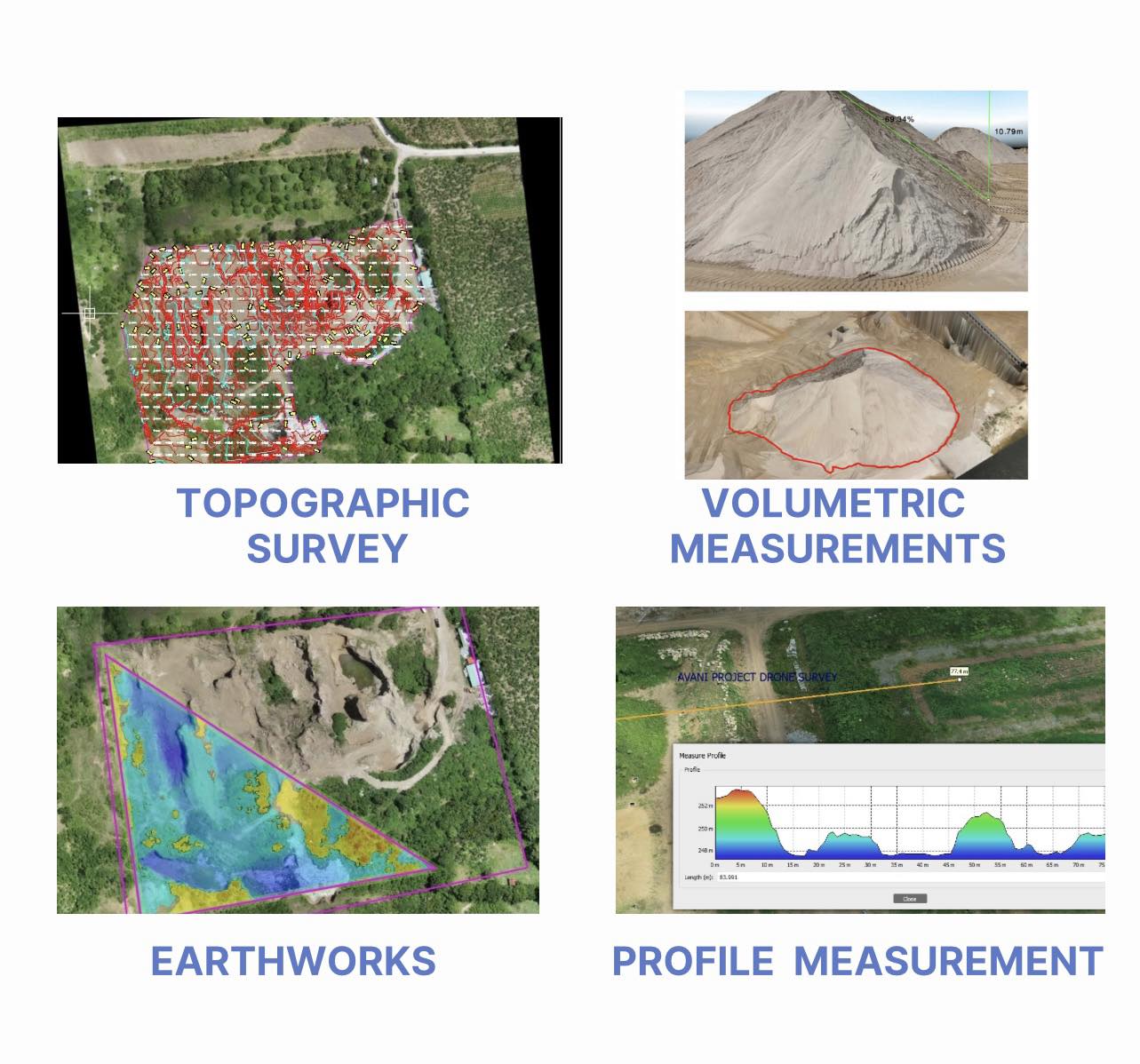
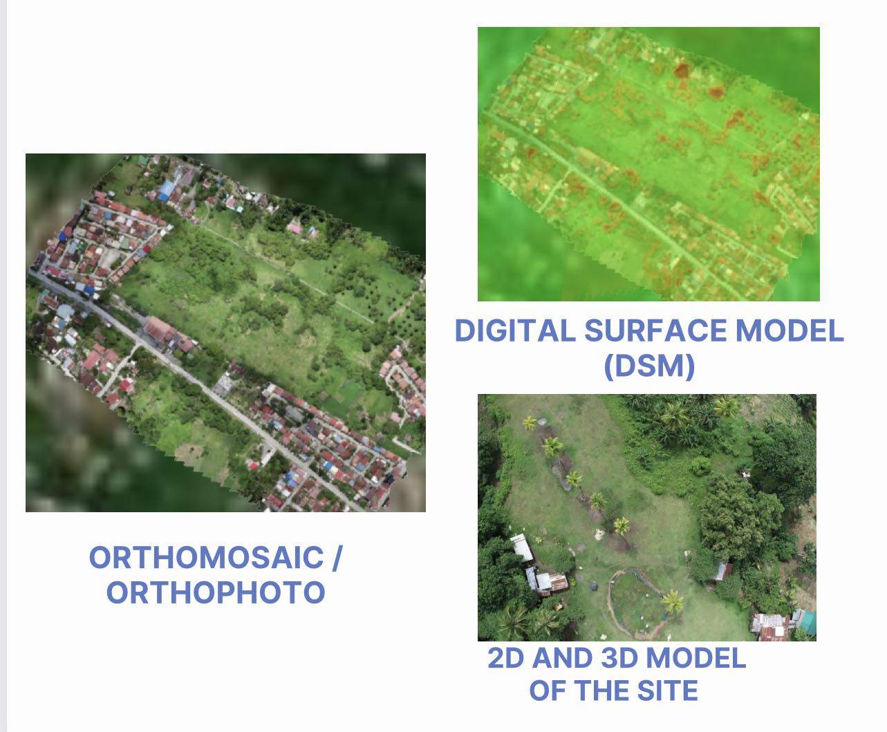
We provide hyper-realistic visual maps with accurate data in three dimensional (3D) Models of the site for purposes of inspection, measurement, reporting, evaluation, planning and topographic survey which includes Earthworks Surveys and Stockpiles Calculations of the projects.
04.
DAATC Data Sharing
We have Specialized Software where we can share the Digital Project Site to Mobile Phones, Tablets, Laptops and Desktops Via Internet Links to Web Email
DAATC SERVICES
Utilizing Artificial Intelligence (AI), Digital Twin and Hi-End Softwares in Creating Digital 3D MODEL OF THE PROJECT SITE which is the exact replica of the actual project site on the ground for conducting Virtual Inspection, Monitoring and Evaluation of the Project where it can be visualize in the mobile phones, tablets, laptops and desktops without going to the Actual Site or Ground.
01. We conduct Engineering Surveys using Artificial Intelligence (AI) and Drone Technology such as:

02. We provide Digital Twin Technology Outputs
such as:

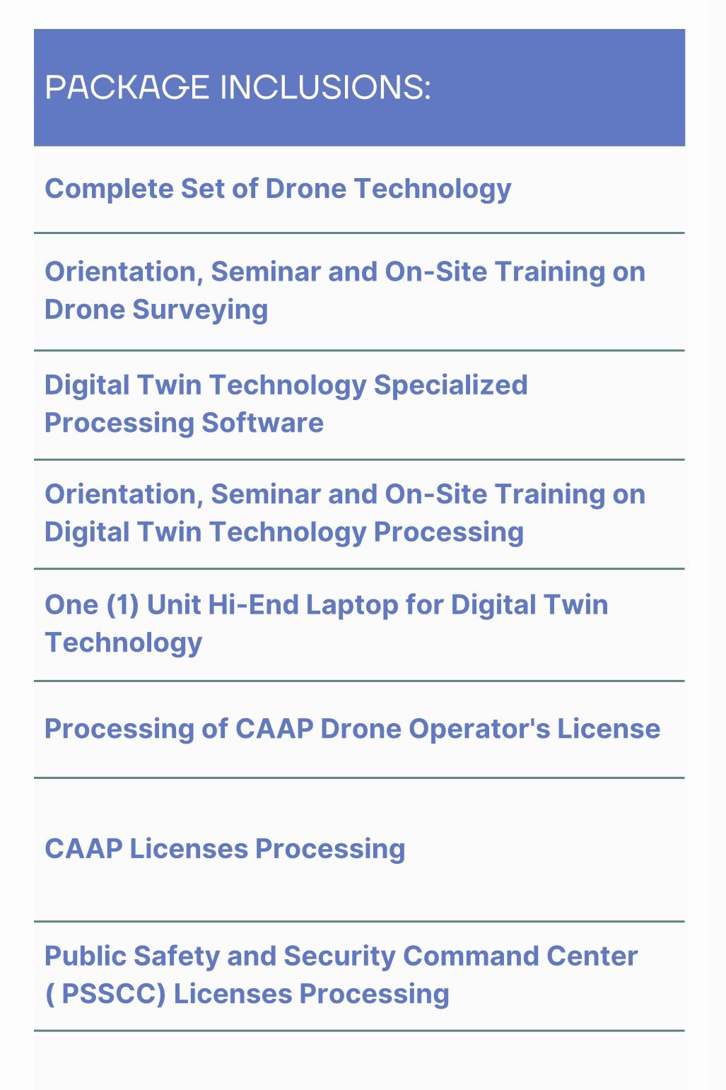
03. We Offer Digital Twin Package to Government Agencies, Construction and Mining Firms

We Provide the Best Virtual Engineering Surveys using Drone Technology
Hyper-realistic visual maps with accurate data in three dimensional (3D) Models of the site for purposes of inspection, measurement, reporting, evaluation, planning and topographic surveying which includes Earthworks Surveys and Stockpiles Calculations of the projects.
