ABOUT US
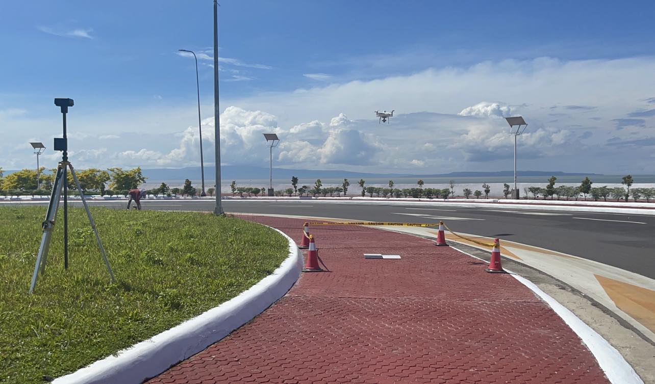
COMPANY
Drone Aerial Advantage Technology Corporation (DAATC) is the First and only Surveying Company in Mindanao that is Licensed and Authorized by the Civil Aviation Authority of the Philippines (CAAP) to conduct Drone Aerial Surveying and Mapping.
Drone Aerial Advantage Technology Corporation (DAATC), as required
by the CAAP Law, is a holder of the following:
- CAAP Drone Pilot Licenses;
- CAAP Drone Registration Certificate;
- CAAP Operator's Certificate for Commercial Drone Surveying and Mapping
What We Offer
We conduct Drone Photogrammetry Survey to generate 3D Model for Virtual Surveying , Mapping, Inspection and Monitoring of Projects of Government Agencies, Construction Companies and Mining Firms.
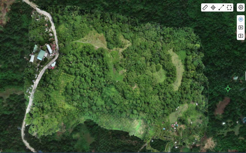
Digital Twin of the Project Site
We can generate Virtual copy or Replica of the Project Site that serves as its REAL – TIME counterpart wherein it creates 2D and 3D Maps of the Project Site. These MAPS represents the actual topography and geography including ALL the physical features that are actually on the Site.
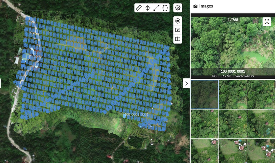
Virtual Inspection, Monitoring and Evaluation the Project Site
It can be visualize, spin , rotate , zoom- in and zoom-out in your mobile phones, tablets, laptops and desktops as if you are actually on the ground or site conducting Site Inspection, Monitoring and Evaluation.
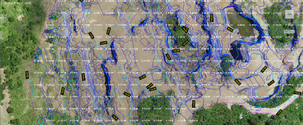
Virtual Surveying
We can Conduct virtual Topographic Surveys, including Earthworks Surveys and Stockpiles Calculations utilizing Drone Technology and AI for land development projects. We conduct virtual surveying in the Digital Project Site by measuring the Distance, Area, Difference in Elevation and Elevation Profile.
TRAININGS AND SEMINARS
We conduct orientations, seminars, lectures, trainings and workshops in webinar or in -person platform on the basic and fundamental concept of drone technology and its many benefits and advantages.
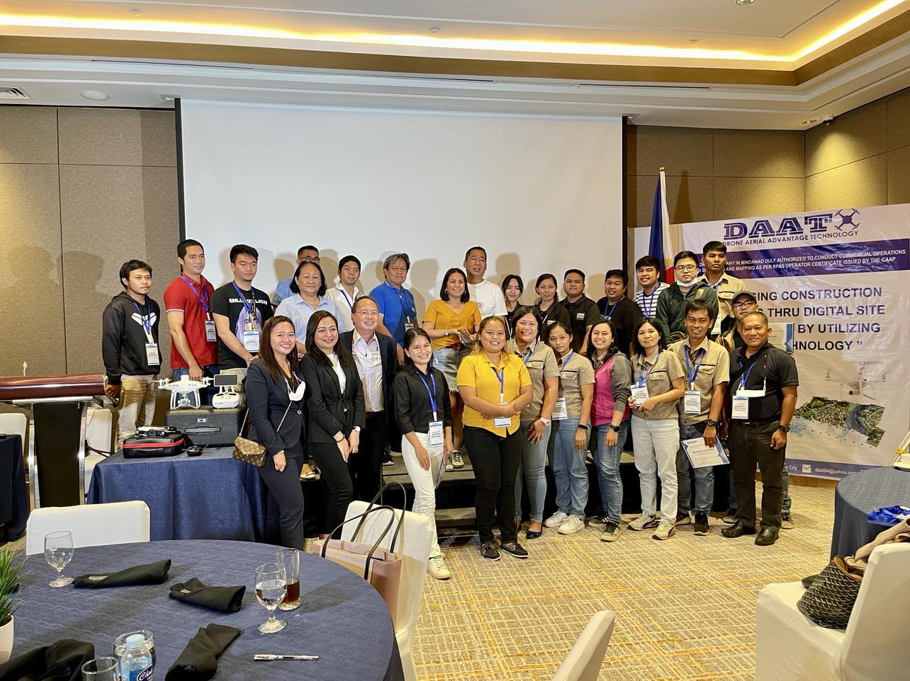
"MANAGING CONSTRUCTION PROJECTS THRU DIGITAL SITE VISUALIZATION BY UTILIZING
DRONE TECHNOLOGY"
September 27, 2022 , Acacia Hotel
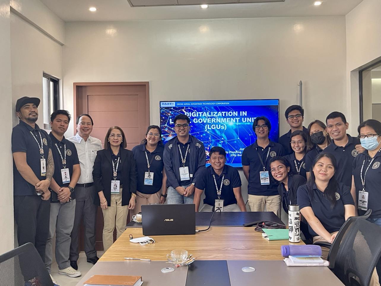
"DIGITALIZATION IN LOCAL GOVERNMENT UNITS"
June 20, 2023 , City Planning and Development office
We Provide the Best Drone Survey Service
Accurate and Precise Drone Survey and Survey- Grade Maps and Data
